How can I climb Halti – Finland’s highest mountain?
There are several mountain peaks in this area, the highest of which is on the Norwegian side. It is called Ráisduottarháldi, which is a Sami name, and rises to a height of 1,361 m above sea. Finland’s highest peak, Halti, is situated nearby and reaches 1,331 m above sea level.
It is interesting to note is that this peak is in fact located in Norway, just 150 m from the Finnish border.
Getting to Halti
Turn off the E6 highway at Birtavarre and drive up the Kåfjorddalen valley. This road is sealed for the first 10 km and then becomes a gravel road. We recommended driving slowly as the road can be bumpy and sheep and reindeer also graze in the area.
After 3 km on the gravel section, the road starts to wind its way up the valley all the way to lake Guolasjávri (770 m above sea level). Turn left here and drive past the Red Cross cabin. The road become a little rougher here. Continue driving until you reach the car park at the end of the road (Hourtnás). This is the starting point for hikes to Halti and other places such as the Reisadalen valley (a full day’s hiking away) and the Reisa National Park.
Parking at Guolasjávri
The Kåfjord Municipal Council requests that visitors do not park outside the designated areas. It has also established additional parking areas. For the parking there is a parkingfee to be paid via the Easypark app. Frequently asked questions about parking can be found on the Kåfjord municipality page.
Best season for hiking
The road leading to the last car park is often covered in snow until mid-June. Consequently, it is normally not possible to hike to Halti before the end of June. The first snow of the winter generally falls in the mountains in October, marking the end of the hiking season.
In winter, it is possible to reach Halti on skis or snowshoes. A snowmobile trail runs up the Kåfjorddalen valley to Guolasjávri. No organized snowmobile tours are offered, but if you require assistance you may contact Visit Lyngenfjord (tel. +47 77 21 08 50 or e-mail post@visit-lyngenfjord.com).
Route description to the summit of Halti
The route leads from the car park on the western side to the reindeer fence, which it follows for about 1 km. You need to go through the gate near the car park. From the fence, follow the markings southwest up the mountainside. The first climb is the steepest part of the hike.
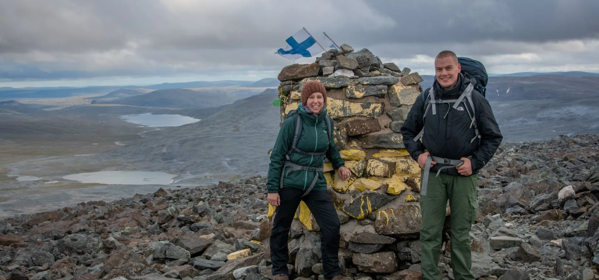
The route then leads you towards a riverbed where two reindeer fences intersect, about 2 km from the summit. The route heads east along the riverbed and the reindeer fences. Follow the markings, which eventually lead away from the reindeer fence and south towards Halti/Ráisduottarháldi. The summit is marked with a yellow cairn.You are encouraged to follow the marked route for your own safety and because reindeer graze in the area.The hike is quite challenging since most of the route leads through scree. It becomes slippery and even more challenging when it’s raining. The area is very exposed. Finland’s highest peak, Halti, is about 2 km further south.A good time to do this hike is in late summer when the snow has melted.
- Length: 14 km (roundtrip)
- Duration: 5-6 hours
Click here to download our hiking guide
Hikes from/to Kilpisjärvi
Hiking from Kilpisjärvi (in Finland) to Halti is also a popular option. This hike is 55 km long, of which part forms part of the Arctic Trail. Click here for more information: http://www.nationalparks.fi/en/kasivarsi/trails


