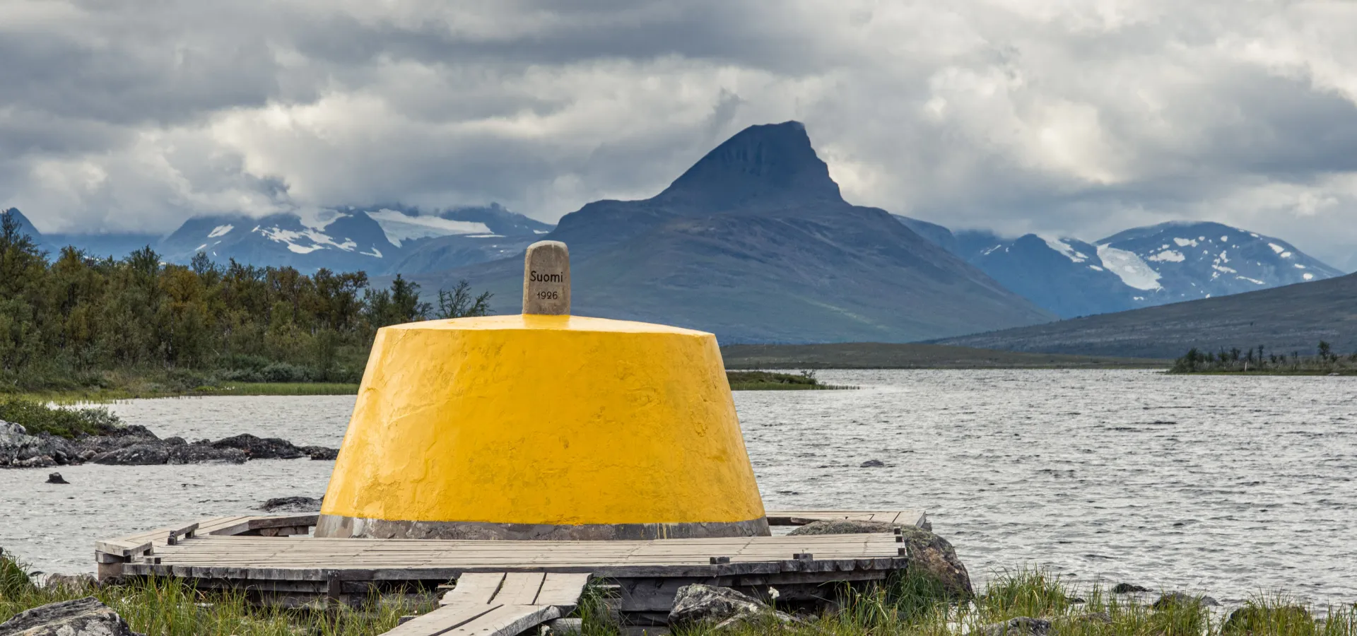
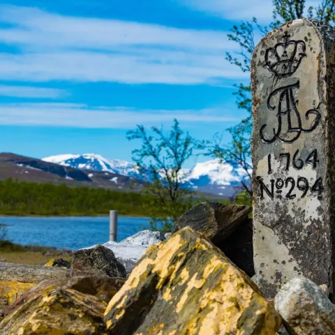
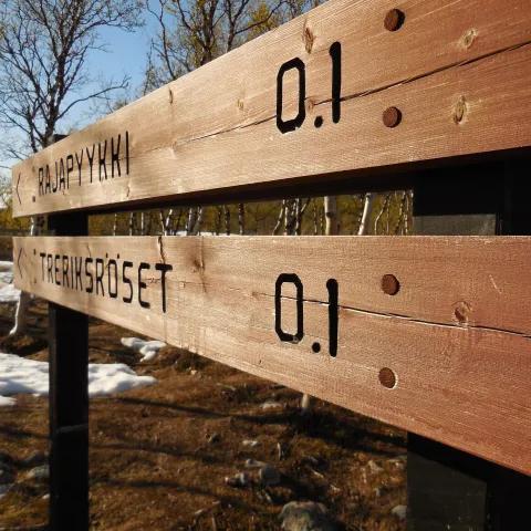
The three-country cairn (Treriksrøysa) near Goldajavri in Storfjord marks the point where Norway, Sweden and Finland meet, which is 69° North and 490 m above sea level.
The three-country cairn near Goldajavri is one of two such cairns in Norway and the Nordic region. The other is in the Pasvikdalen valley in Finnmark County, and marks the border between Norway, Russia and Finland. This is roughly 900 m further south, making the cairn in Storfjord the world’s northernmost three-country cairn!
- Did you know that you can run freely from country to country? Even through the actual cairn is surrounded by water, a small wooden construction enables you to jog or walk around it if you wish!
However, jogging or walking round the three-country cairn in Finnmark is illegal. That cairn is strictly guarded on both the Norwegian and Russian sides, and crossing the border there is prohibited.
Route description from Kilpisjärvi
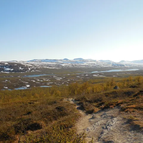
The other route goes via Kilpisjärvi in Finland. You can start from the cark park by the E8 highway, just after the international border. The path is clearly marked all the way. The hike from Kilpisjärvi to the three-country cairn and back again is approx. 22 km. Although you follow a clearly marked path in relatively flat terrain, this is regarded as a challenging hike.
Alternatively, in summer you can take a scheduled boat across the lake from Kilpisjärvi and walk approx. 20 min along a marked path to the three-country cairn (Treriksrøysa).
Route description from Signaldalen
There are several ways to reach the three-country cairn (Treriksrøysa) year-round. One option is to start from Signaldalen/Čiekŋalvuovdi in Storfjord. This is a longer hike, which requires an overnight stop.
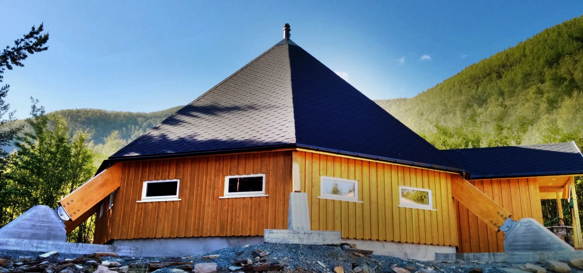
This route goes via the unmanned DNT cabins Gappohytta and Goldahytta.This hike is approx. 30 km and is considered challenging. The Goldahytta is just a short stroll from the three-country cairn (Treriksrøysa).


