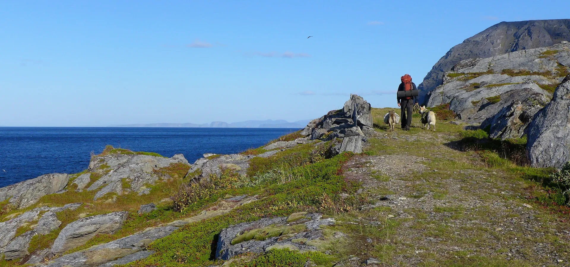
This is a spectacular and challenging hike for the more adventurous. It offers a wonderful view of the open sea, dramatic war history and quite a climb.
The path between the village of Årviksand and Rotvåg starts at the end of the road in the far north of Årviksand, where you can park. Poles and rocks with blue marks show the way northwards by the sea. After a few hundred metres, you will reach scree and forest. You can use the rope to help you up steep section.
The path flattens out above the treeline before leading up through the ‘Kjerringura’ scree. After crossing this this, you will see a large cairn on a small hill north of the path. This has guided hikers and fishermen for generations.
Continue northwards from here, and after a while the path leads down towards Rotvåg. It’s steep but you can again use a rope to help you up. When you get down, you walk along the coast to the grassy knoll in Rotvåg. This area was previously settled but few traces remain.
From here, the valley becomes steeper but when you reach the top it becomes easier. Reaching the spy cave west of the river can be challenging if you don’t know the area well as there is no marked path.
A plaque has been erected at the Rotvåg Cave in memory of the partisans who hid here while they spied on the German shipping – in constant fear of being discovered. You can crawl down into the cave if you wish. From the cave, follow the same route back to Årviksand.
Multi day hike
Alternative: If you want to extend the route, follow the cart road from Rotvåg to Nord-Rekvik. In days gone people live here, but there are now only cabins and holiday homes. Continue up through the Nord-Rekvikdalen valley and back to Årviksand. This is a long hike, so you should bring a tent. As the route is not well marked, experience with map and compass in necessary.


