From Saraelv to Ráisjavri/Reisavann lake
This route is part of the Arctic Trail (Nordkalottleden) and in 2018 officially became a historic hiking route as the route offers magnificent nature-based experiences and is of important cultural heritage value.
This route is 60 km and takes several days to complete. You start at Saraelv, walk along the banks of the Reisa river to the Imofossen waterfall and continue over the mountains to the Finnmarksvidda mountain plateau and lake Reisavann.
Start by following the path to Sieimma (approc. 9 km), where you enter the Reisa National Park. There is a boat at Sieimma, which you may use to cross the river so you can see the 4,000-year-old rock art. This is a detour, so you need to cross the river again to continue the Arctic Trail.
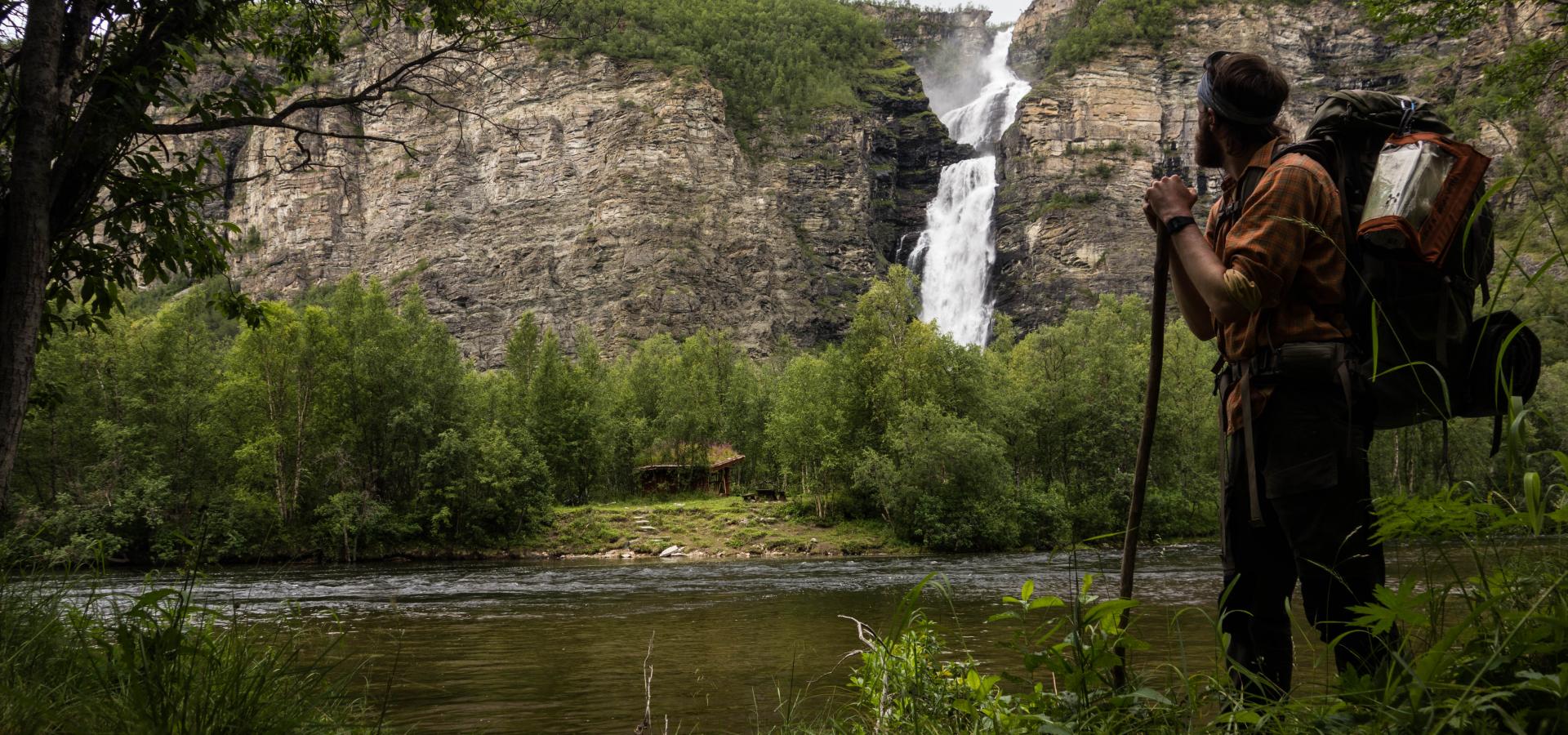
The trail continues into Reisa National Park. You need to cross small tributaries. After approx. 10 km, you will pass the spectacular Mollisfossen waterfall, which is on the eastern side of the Reisa river. From here, follow the trail along the riverbank for a further 10 km to Nedrefosshytta (an unmanned DNT cabin).
The trail continues in more challenging terrain, starting with a swing bridge over the Reisa river at the Nedrefoss waterfall. Further up the river in a south-easterly direction, you will reach Bjørnehiet, a small ledge where a guiding wire has been set up. You then need to cross the Imojohka river three times.
We recommend visiting the impressive Imofossen waterfall. This requires a detour from the main trail on a well-marked path. The terrain from here is gentler until you reach the Luovddiijohka river, which you need to ford. The terrain from here to the mountain Miehtavarri is dry, and the route continue downwards.
Follow the traces of the old road in the valley between Vuolavarit and Boazoaivi. The terrain varies between dry and marshland.
You need to cross the river, which is nearly 30 m wide. This involves wading up to knee height. From there, the trail goes uphill towards the southern side of Aitevarri before the final leg down to lake Reisavann and the Reisavannhytta cabin.
You can rent the cabin at www.inatur.no.
Note that you need to cross many small rivers and streams. After heavy rain/flooding, these become bigger and can be challenging to cross.
From lake Reisavann, it is approx. 50 km by road to Kautokeino. You can either walk or arrange to be picked up here.


